


The results of the world’s largest airborne electromagnetic (AEM) survey have been released, revealing potential new mineral and groundwater resources in the Northern Territory and Queensland.
The AEM survey was led by Geoscience Australia in collaboration with the Northern Territory Geological Survey and the Geological Survey of Queensland as part of the Federal Government’s $100.5 million Exploring for the Future program.
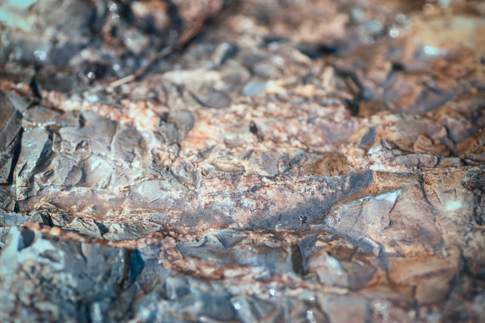
AEM surveys are conducted using aircraft-mounted equipment to map the electrical conductivity of rocks, sediments and waters below the Earth’s surface to a depth of several hundred metres.
They provide a detailed 3D picture (similar to a CT scan) which can be used to map potential resources beneath the Earth’s surface in the prospective area between Tennant Creek and Mt Isa.
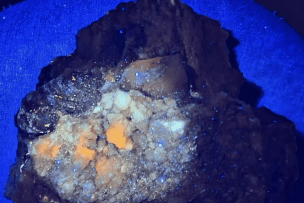
Minister for Resources and Northern Australia, Matt Canavan said the AEM survey indicated the potential for new mineral deposits including gold, copper, nickel, lead, zinc and manganese, as well as critical minerals such as cobalt, platinum-group elements and rare-earth elements.
“The survey contains 60,000-line kilometres of data and provides new insights into mineral-rich areas in Northern Australia that have not been extensively explored previously,” Minister Canavan said.
When used in conjunction with other datasets such as gravity, magnetic and radiometric maps of Australia, AEM can reveal potential broad-scale groundwater resources to support communities, industries and the environment.
“This is great news for Northern Australia, offering enormous potential for the next generation of resource discoveries,” the Minister added.
Minister Canavan said the data has already received ‘huge interest’, with 13 exploration companies already signing up to participate in infill flying during the next survey, which will be acquired across an equally large area of the west of the Northern Territory and into Western Australia.

Map of the airborne survey planned between March and September 2019 in northern Western Australia and south-west Northern Territory. Image credit: Geoscience Australia.