


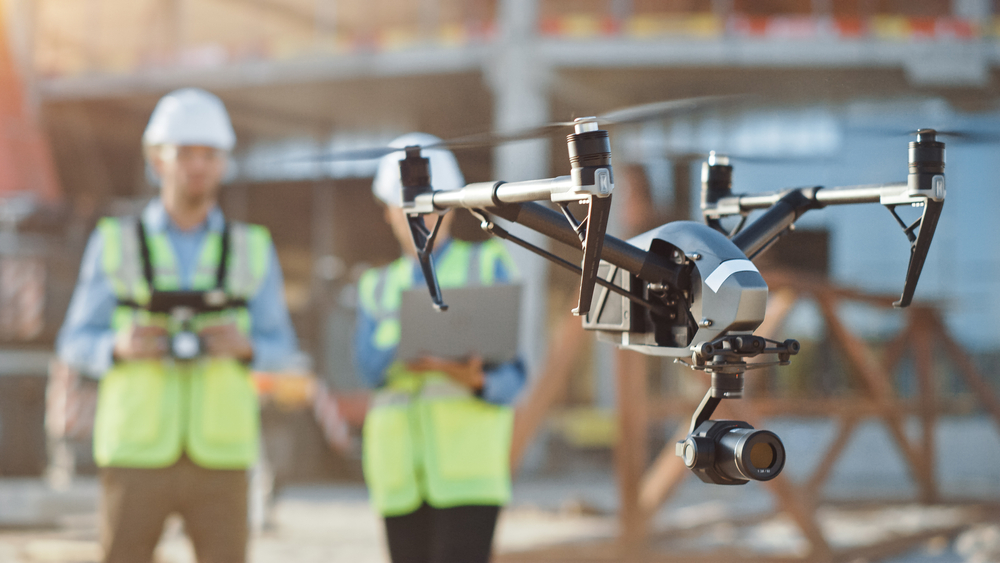
The Civil Aviation Safety Authority (CASA) has announced the release of five new CASA-verified drone safety apps for recreational and commercial drone operators in Australia.
All five apps give users location-based information with easy-to-use maps showing where drones can be flown according to aviation legislation.
“It is exciting to bring on additional new apps for this growing industry,” Sharon Marshall-Keeffe, acting RPAS branch manager said.
“With eight CASA-verified drone safety apps now available from our website, drone operators have more choice in the apps they can use, with a range of information designed to suit their needs.”
Not only do the apps show where it’s appropriate to use drones, they can also help commercial operators with planning, getting an airspace authorisation near a controlled aerodrome, and conducting and recording their operations.
“With Australians flying drones in record numbers, these apps play an essential role assisting operators to fly within the rules, clearly defining the location of restricted airspace, major obstacles, airports and danger areas,” she said.
The RPAS digital platform is an innovative approach by CASA that facilitates third-party app developers to deliver safety information to drone users in a consistent and accessible way.
Before taking flight, drone operators are encouraged to check CASA-verified drone safety apps to access accurate information about where they can and can’t fly.
Fines of up to $11,100 can be imposed for breaching drone safety regulations.
For more details or to download a CASA-verified drone safety app, go to beta.casa.gov.au/knowyourdrone/drone-safety-apps